A dataset provided by the municipality of Berlin includes information about the bike facilities to ride more safely in the city. It includes details about the following categories:
Bike lane (Radweg)
shared sidewalks (gemeinsamer Geh- und Radweg)
separated sidewalks with bike lanes (getrennter Geh- und Radweg),
sidewalks with additional sign bike traffic free (Radverkehr frei).
cycle lanes (Radfahrstreifen)
bus lanes free for cyclists (Bussonderfahrstreifen)
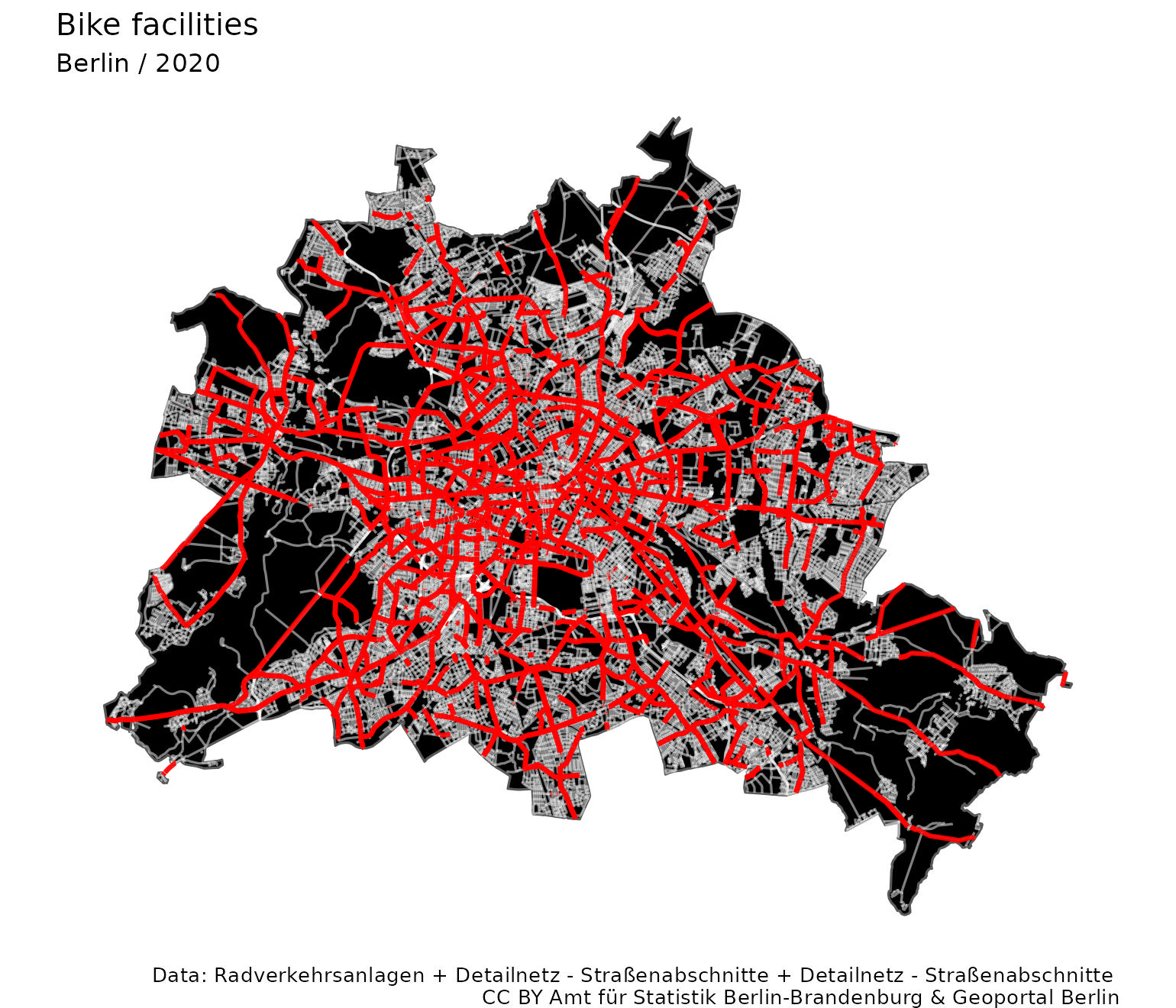
Exhibit of the day
What happens if we map all these facilities over the road network?
Data:Radverkehrsanlagen + Detailnetz Straßenabschnitte CC BY Geoportal Berlin”. Plot made with R, sf and ggplot2 (code in the source page as comments).
It looks quite impressive, but most of the network consists of shared sidewalks, i.e., ways that are free to use for cyclists but shared with other people. It does not represent a network dedicated to bikers, which would be much smaller (and depressing).